Turas gu muir
MarineVerse Globe - Offentlig båtprofil
Check anchoring here for depth and clearance.
Simulated depth: UnavailableRode: 0.0 / 60 m · target 0.0 m
Only the owner or an authorized skipper can command this boat.
Anchor information
Reliable holding after sufficient rode is secured is a game rule. Depth is simulated, not a navigational sounding. In port, lowering both sails with the engine off keeps the boat stationary. The same hold applies after a land collision. Raising sails, starting the engine, or clearing the collision through recovery releases that collision hold. Otherwise, an unanchored boat can still drift.
Last confirmed: 10/3/2026, 5:31:59 AM
| Båtnamn | Turas gu muir 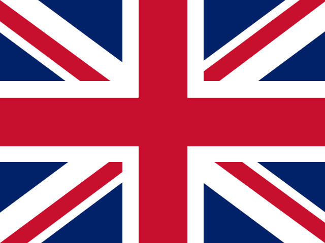 |
| Segelnr | 5275 |
| Ägare | Muc na Mara |
| Plats | Sargasso Sea |
| Koordinater | 34°58'13.67"N, 61°39'3.56"W |
| Fart | 1.39 kts |
| Kurs | 235.32° |
| Väder | |
| Exportera |
Current Location: Sargasso Sea
Oceans
Challenge: Visit all the oceans
Remaining: Pacific Ocean, Indian Ocean, Southern Ocean, Arctic Ocean
| Name | First Visited | Last Visit |
|---|---|---|
| North Atlantic Ocean | 2025-09-01 UTC | 2026-08-24 UTC |
Seas
Challenge: Seven Seas
| Name | First Visited | Last Visit |
|---|---|---|
| Sargasso Sea | 2026-08-24 UTC | 2026-10-03 UTC |
| Norwegian Sea | 2025-10-01 UTC | 2025-10-30 UTC |
| Inner Seas | 2025-10-01 UTC | 2025-10-22 UTC |
Visited Ports: 0
Visit a port to register a Port Call and start tracking Passages.
Inga hamnanlöp registrerade för den här båten.
Inga passager registrerade för den här båten ännu.
Distance Traveled
| Overall | 7625.00 nm (so far) |
| Current year (2026) | 16.38 nm (so far) |
| Current month (oktober) | 0.00 nm (so far) |
En karta laddas
Gå tillbaka till MarineVerse Globe Map.